I won’t sugarcoat it: This is a long one! With the drive from and to Glenwood it took us eight hours and we didn’t even make it far into the box itself. But is it ever worth it! We are already planning to go back, probably with one or even two nights camping on the way. But don’t let me get ahead of myself.
We drove up from Glenwood to Reserve, turned left (at the only intersection in town, yes) and then left after some miles onto a dirt road called Higgins Flat Road. You find it on the map as Forest Road 49. Turn left onto Forest Road 41 and take that all the way to the trailhead at the end. This is quite literally the middle of nowhere. We saw a ranch gate with a sign “El medio de nada” on the drive in – if that doesn’t prove it.
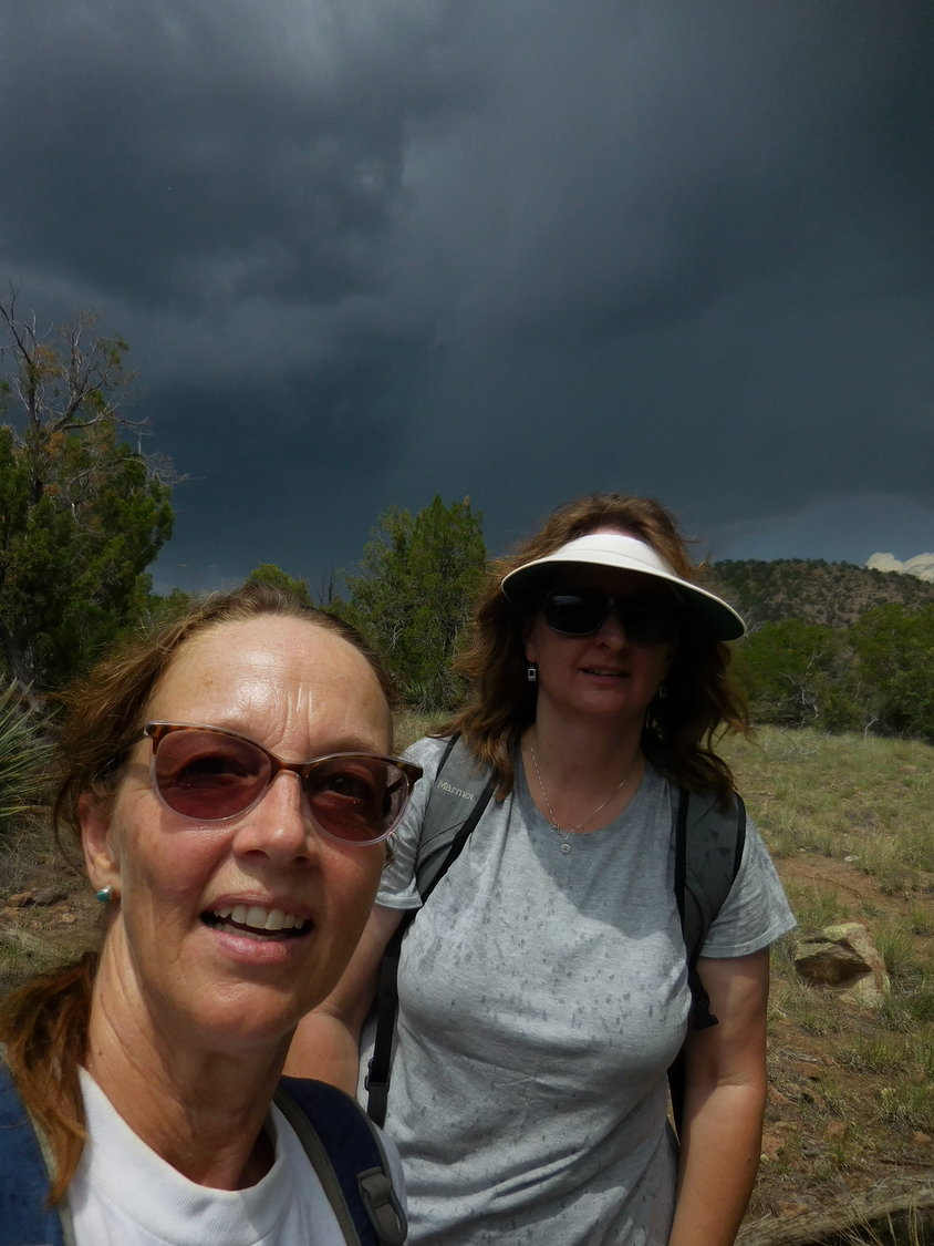
Warning: You will have to cross the San Francisco River five times before you get there, so a four-wheel drive vehicle is highly recommended. On the day of our hike we got hit by a thunderstorm in the afternoon and scurried back out as fast as our Subaru Outback could carry us. And the actual rain had only started to hit us when we were almost back, a few hundred yards away from the car. Within minutes we were soaked, but happily so. The day had been hot, hot, hot.
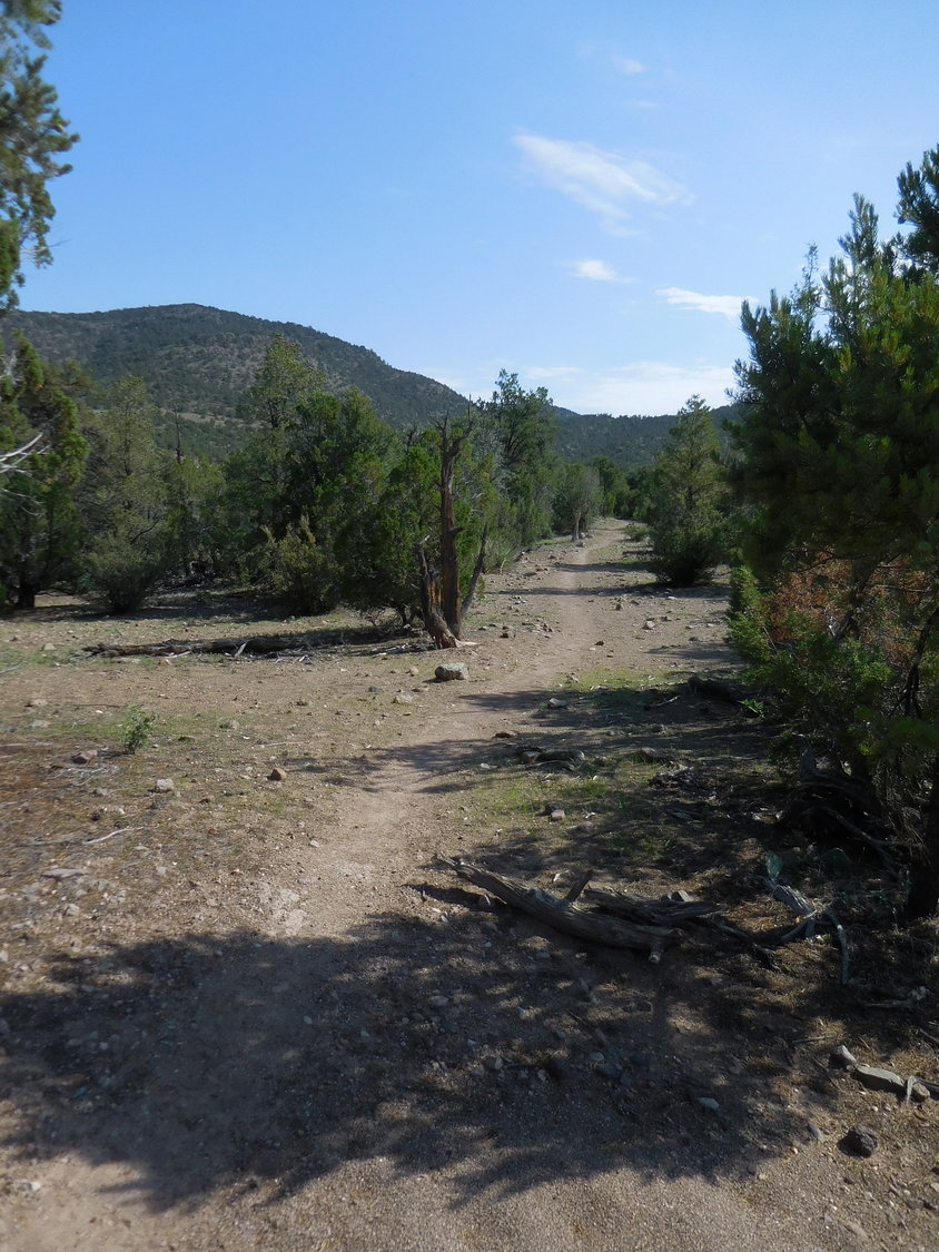
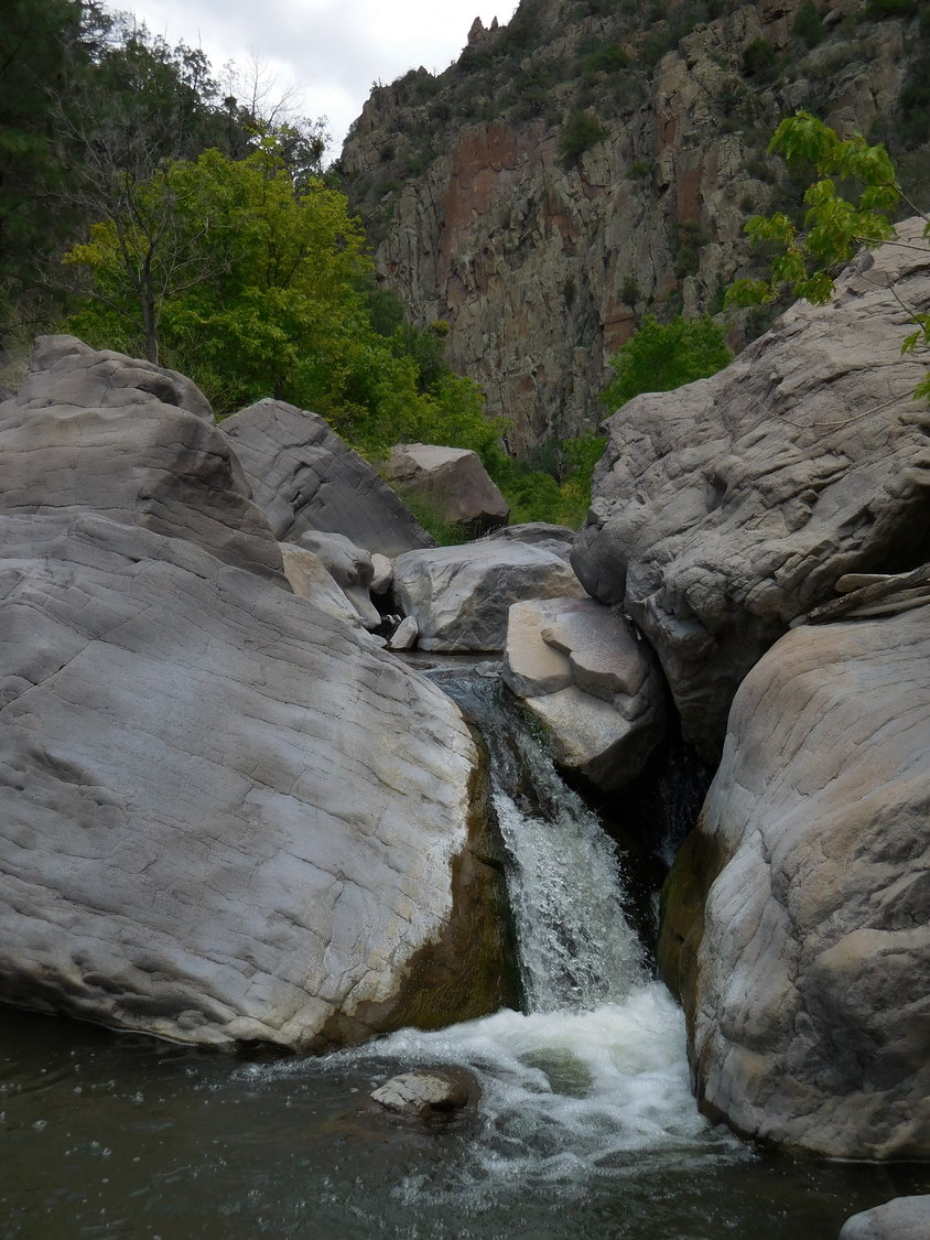
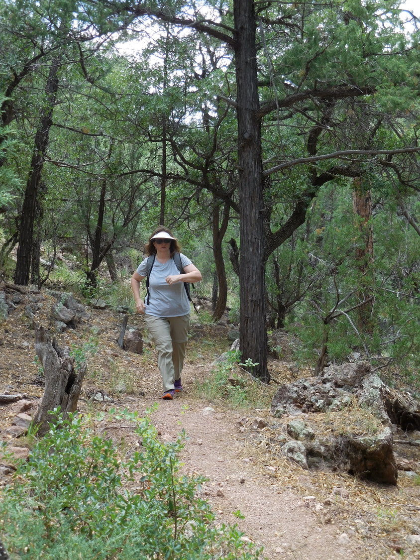
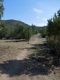
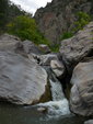
As you climb up onto the mesa at the onset of the trail, you can already see your goal, the Frisco Box in the distance. It looks gorgeous and very impressive. The trail is well visible the whole way across the wide-open mesa and into the canyon. Once you hit the water’s edge though – unfortunately that is three miles in – it can get sketchy. And when you seriously enter the box, towering canyon walls to both sides, the trail disappears. There is only one way up: Climb over the boulders and go through the water. The going got real slow at this point and with half our group already heading back, we turned around as well, but not before taking a dip in the icy waters to cool us off.
On the water’s edge we found some good camp sites for small tents and took a mental note. That would be the way to do it. Day 1: Hike in and set up camp. Day 2: Hike up the canyon all the way to the end and climb up to the warm springs on top. Day 3: Hike back out.
We only saw two other hikers the whole day – and that was on a Saturday. When our host in Glenwood predicted up to 3,000 people at the Catwalk for a weekend. We had opted to hike that trail already two days earlier to avoid the crowds.
One embarrassing admission: I did not take enough water – I know, I know, I am preaching this every month to you all and yet, here I was. Our group expected this to be a much shorter hike and thus I only carried two quarts of water. It adds weight, right? So, I took my chance. I ended up refilling my pouch with the river water but was hesitant to drink it because I didn’t bring a filter. I drank some and still feel fine, thanks for asking. I had planned ahead and stashed an insulated bottle in the car – ice cold water that I looked desperately forward to on the hike out. But please let this be a lesson to you all. Never, ever underestimate the time you will be on the trail. It can be dangerous very fast.
Stay safe out there!
Of German origin, Gabriele Teich has called Las Cruces her home for more than 20 years — and loved every minute of it, hiking the mountains in the immediate surrounding area and all over this beautiful state.