Organ Mountains-Desert Peaks National Monument became a reality in 2014 after a lot of people came together to make it happen. Created to protect significant prehistoric, historic, geologic and biologic resources of scientific interest, it includes four areas: The Organ Mountains, Desert Peaks, Potrillo Mountains and Doña Ana Mountains.
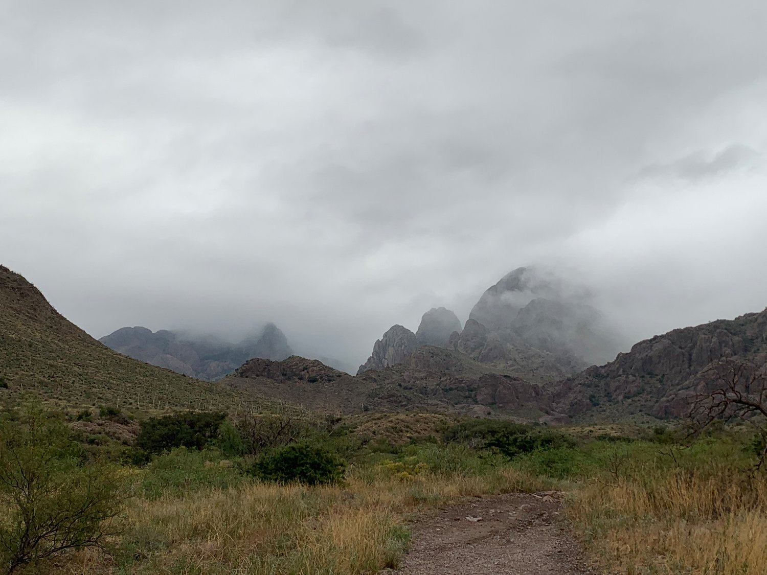
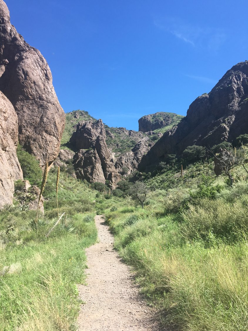
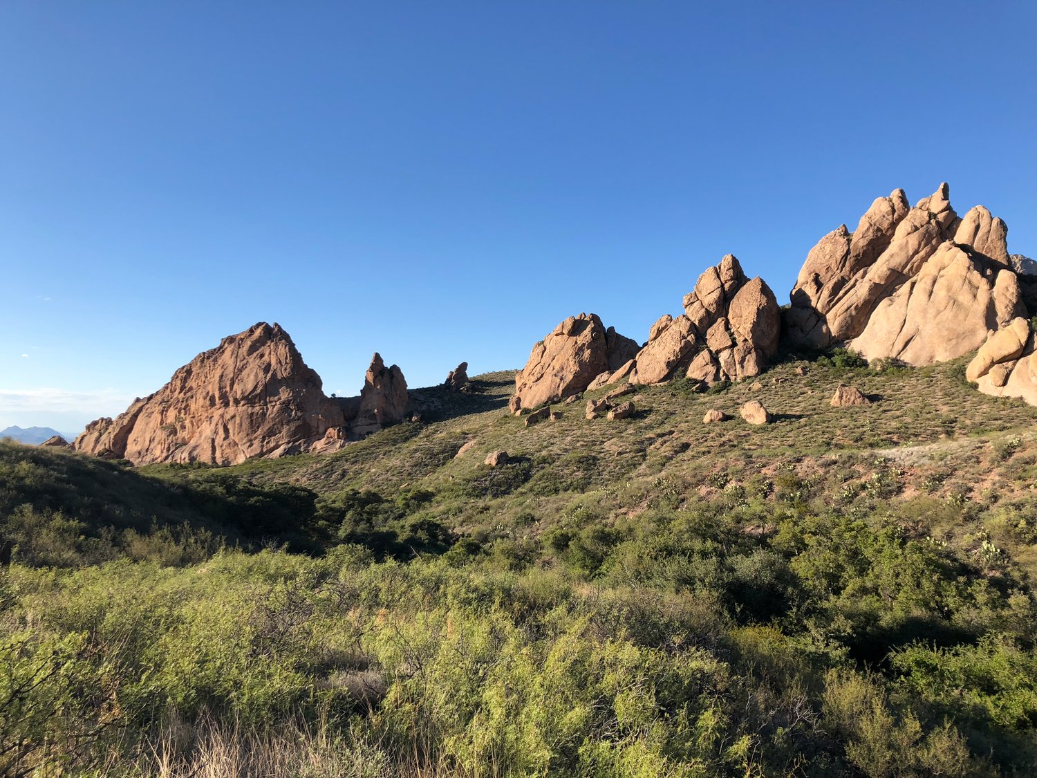
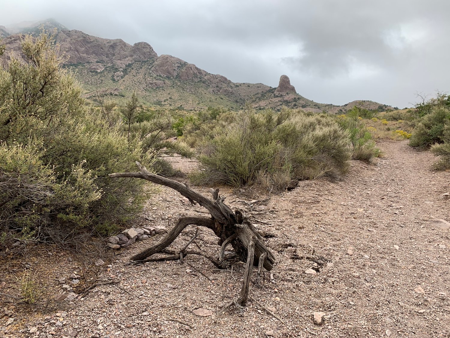
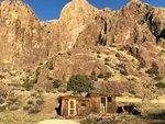
The Organ Mountains are a steep, angular mountain range with rocky spires that jut majestically above the Chihuahuan Desert floor to an elevation of 9,000 feet. This area of rocky peaks, narrow canyons and open woodlands ranges from Chihuahuan Desert habitat to ponderosa pine in the highest elevations. This area provides opportunities for photography, hiking, horseback riding, mountain biking, camping and wildlife viewing.
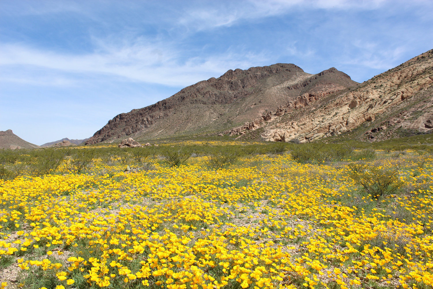
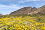
The Desert Peaks include the Robledo Mountains, Sierra de las Uvas and Doña Ana Mountains, characterized by desert mountains rising steeply from flat plains.
The Potrillo Mountains are the most remote section of the monument, located southwest from Las Cruces, and comprised of a volcanic landscape of cinder cones, lava flows and craters.
The Doña Ana Mountains have extensive pedestrian trails, equestrian trails, mountain bike trails, rock-climbing routes and some limited routes available for motorized use.
Patrick Nolan, executive director of the Friends of the Organ Mountains-Desert Peaks National Monument said following the creation of the monument, attendance at Dripping Springs Natural Area alone went from 23,143 in 2014 to 115,360 in 2019.
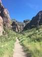
He said a local Las Cruces man has spearheaded a loop trail covering more than 300 miles that connects the parts of the monument.
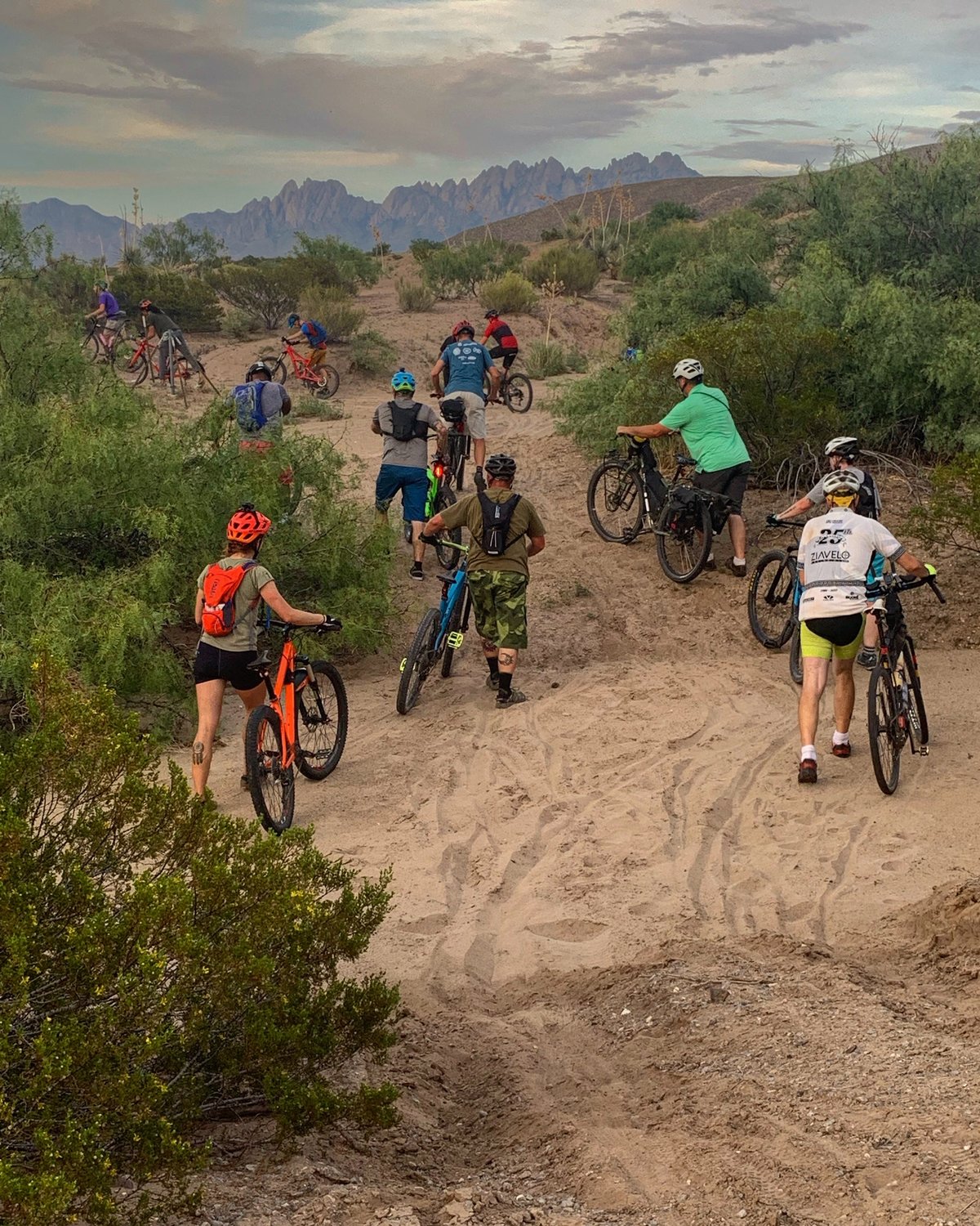
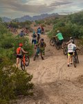
“The cool part is it connects all four parts of the monument,” Nolan said. “Doña Ana has become a hotspot for mountain biking.”
But the loop is not only for biking; people have walked and run the trails as well. Nolan said the highest point is 5,816 feet, and 94 percent of the roads are unpaved. For walkers, the average days spent on the full trail is seven. But there is certainly no need to cover all the area; breaking down the trail to suit the individual is easy too.
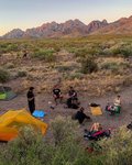
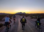
Matt Mason, the originator of the Monumental Loop, said back in the beginning, when monument publicity said it was going to be a big economic driver “it seemed like bikepacking would be a great fit for the area.”
“The roads and trails are out there, and the weather is great in the winter,” he said. “The idea is to showcase everything that makes Doña Ana County a great place to be and visit. The trail starts on Las Cruces Plaza. It goes past the highlights in the county, including Hatch, the Pat Garret gravesite. If you do the whole thing, you come away with a good idea of history, culture and landscape of the area.”
As locals see the response from across North America, with mountain bikers coming into the area from all over, they are joining in to travel the monument, Mason said.
“It’s super rewarding for me,” he said. “There are people that have been here their whole lives and I have shown them things that they didn’t know existed.”
A map of the loop is available on bikepacking.com/routes/monumental-loop/, and Mason has his own map at ridewithgps.com/routes/18185826.
“It’s a great place to have a mountain bike,” Mason said. “With a bike you can see almost any corner of the monument. It’s a fun way to do it and cost effective.”
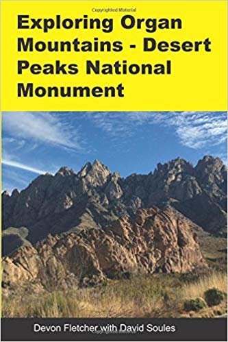
Looking for other trail information, Devon Fletcher and David Soules wrote and published “Exploring Organ Mountains-Desert Peaks National Monument” (OMDO) in late 2018 to guide visitors to the ancient sites, historic places and silent corners of the monument. The 213-page book details 56 hikes into the monument’s mountain ranges and includes a map of each hike, its length, duration, difficulty and elevation change, as well as the driving time and vehicle terrain to reach it.
Contact Fletcher at devfletch@msn.com or visit www.organmountains.org for more.
Organ Mountains-Desert Peaks National Monument became a reality in 2014 after a lot of people came together to make it happen. Created to protect significant prehistoric, historic, geologic and biologic resources of scientific interest, it includes four areas: The Organ Mountains, Desert Peaks, Potrillo Mountains and Doña Ana Mountains.
The Organ Mountains are a steep, angular mountain range with rocky spires that jut majestically above the Chihuahuan Desert floor to an elevation of 9,000 feet. This area of rocky peaks, narrow canyons and open woodlands ranges from Chihuahuan Desert habitat to ponderosa pine in the highest elevations. This area provides opportunities for photography, hiking, horseback riding, mountain biking, camping and wildlife viewing.
The Desert Peaks include the Robledo Mountains, Sierra de las Uvas and Doña Ana Mountains, characterized by desert mountains rising steeply from flat plains.
The Potrillo Mountains are the most remote section of the monument, located southwest from Las Cruces, and comprised of a volcanic landscape of cinder cones, lava flows and craters.
The Doña Ana Mountains have extensive pedestrian trails, equestrian trails, mountain bike trails, rock-climbing routes and some limited routes available for motorized use.
Patrick Nolan, executive director of the Friends of the Organ Mountains-Desert Peaks National Monument said following the creation of the monument, attendance at Dripping Springs Natural Area alone went from 23,143 in 2014 to 115,360 in 2019.
He said a local Las Cruces man has spearheaded a loop trail covering more than 300 miles that connects the parts of the monument.
“The cool part is it connects all four parts of the monument,” Nolan said. “Doña Ana has become a hotspot for mountain biking.”
But the loop is not only for biking; people have walked and run the trails as well. Nolan said the highest point is 5,816 feet, and 94 percent of the roads are unpaved. For walkers, the average days spent on the full trail is seven. But there is certainly no need to cover all the area; breaking down the trail to suit the individual is easy too.
Matt Mason, the originator of the Monumental Loop, said back in the beginning, when monument publicity said it was going to be a big economic driver “it seemed like bikepacking would be a great fit for the area.”
“The roads and trails are out there, and the weather is great in the winter,” he said. “The idea is to showcase everything that makes Doña Ana County a great place to be and visit. The trail starts on Las Cruces Plaza. It goes past the highlights in the county, including Hatch, the Pat Garret gravesite. If you do the whole thing, you come away with a good idea of history, culture and landscape of the area.”
As locals see the response from across North America, with mountain bikers coming into the area from all over, they are joining in to travel the monument, Mason said.
“It’s super rewarding for me,” he said. “There are people that have been here their whole lives and I have shown them things that they didn’t know existed.”
A map of the loop is available on bikepacking.com/routes/monumental-loop/, and Mason has his own map at ridewithgps.com/routes/18185826.
“It’s a great place to have a mountain bike,” Mason said. “With a bike you can see almost any corner of the monument. It’s a fun way to do it and cost effective.”
Looking for other trail information, Devon Fletcher and David Soules wrote and published “Exploring Organ Mountains-Desert Peaks National Monument” (OMDO) in late 2018 to guide visitors to the ancient sites, historic places and silent corners of the monument. The 213-page book details 56 hikes into the monument’s mountain ranges and includes a map of each hike, its length, duration, difficulty and elevation change, as well as the driving time and vehicle terrain to reach it.
Contact Fletcher at devfletch@msn.com or visit www.organmountains.org for more.